- Created: August 28, 2012 10:32 am
- Updated: December 12, 2017 11:02 am
Categories:
Location: Kerry
- Distance Instructions
Label
- Distance 15 km
- Time 0 s
- Speed 0.0 km/h
- Min altitude 9 m
- Peak 432 m
- Climb 494 m
- Descent 494 m
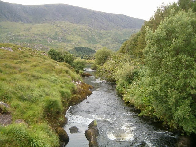
The Windy Gap by Eagles Hill walk is a moderate 3 hour (11.5km) walking route taking in a section of the Kerry Way near village of Waterville, county Kerry in the south west of Ireland. The route passes Lough Currane on the Kerry Way and then takes in the summit of Eagles Hill at 549m.
This walking route is one of many other walks in the area. Use our Map of Ireland and Sat Nav tool to get directions to the start point of this walk and use our detailed map and GPS on our ActiveME App to find and follow the walking route and keep on track.
Gallery
The Windy Gap by Eagles Hill walk is a moderate 3 hour (11.5km) walking route taking in a section of the Kerry Way near village of Waterville, county Kerry in the south west of Ireland. The route passes Lough Currane on the Kerry Way and then takes in the summit of Eagles Hill at 549m.
This walking route is one of many other walks in the area. Use our Map of Ireland and Sat Nav tool to get directions to the start point of this walk and use our detailed map and GPS on our ActiveME App to find and follow the walking route and keep on track.
