- Created: August 28, 2012 11:33 am
- Updated: December 12, 2017 11:01 am
- Distance Instructions
- Distance 14 km
- Time 0 s
- Speed 0.0 km/h
- Min altitude 259 m
- Peak 802 m
- Climb 799 m
- Descent 799 m
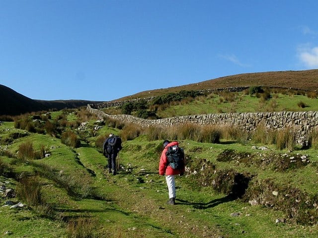
This is moderate to strenuous 5.5 hour (11 km) walk through glorious valleys, grassy slopes and the peaks of Temple Hill, Carrignabinnia and Monabrack in County Cork, Ireland.
Use our Map of Ireland and Sat Nav tool to get directions to the start point and our detailed route map and GPS on our ActiveME App to find and follow the walking route live on screen and keep on track. At all times, our maps and App should be used in conjunction with proper map and compass navigation techniques. Feel free to add you own star rating and comments or suggestions below.
Gallery
This is moderate to strenuous 5.5 hour (11 km) walk through glorious valleys, grassy slopes and the peaks of Temple Hill, Carrignabinnia and Monabrack in County Cork, Ireland.
Use our Map of Ireland and Sat Nav tool to get directions to the start point and our detailed route map and GPS on our ActiveME App to find and follow the walking route live on screen and keep on track. At all times, our maps and App should be used in conjunction with proper map and compass navigation techniques. Feel free to add you own star rating and comments or suggestions below.
