- Created: August 28, 2012 11:32 am
- Updated: December 12, 2017 11:02 am
- Distance Instructions
- Distance 10 km
- Time 0 s
- Speed 0.0 km/h
- Min altitude 11 m
- Peak 66 m
- Climb 83 m
- Descent 103 m
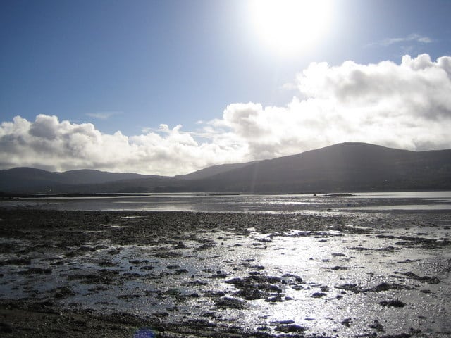
Stage 8 - Part 3 of the Kerry Way is from Blackwater Bridge to Templenoe, County Kerry, Ireland. It is an easy 2.75 hour (7 km) coastal and woodland walk from Blackwater Bridge to the village of Templenoe.
Starting from Blackwater Bridge with views back across Coongar Harbour and Drongawn Lough, the Kerry Way briefly stays on the road following the Blackwater River before again moving onto wooded paths passing Dromore Castle built in the 1830′s and Cappanacush Castle from the 13th century. The route ends by following a short section of the main Ring of Kerry road to Templenoe, home of Pat Spillanes Pub, owned by one of Ireland’s most renowned Gaelic Football players.
The Kerry Way is a long distance walking trail in County Kerry, Irelandand the longest of Irelands National Waymarked Trails at approximately 215 km (134 miles) long. The walking route officially begins and ends in Killarney but you can join the trail at any number of points along its length. The Kerry Way takes in the entire Iveragh Peninsula in an anti clockwise loop and is the walking alternative to the world famous Ring of Kerry scenic drive which follows a similar route.Typically the entire route is broken down into 9 key stages of approximate equal length or duration. We have also broken some of these longer stages into smallers part to allow everyone irrespective of fitness or time available to experience one of the best and varied walks in Ireland.
Gallery
Stage 8 – Part 3 of the Kerry Way is from Blackwater Bridge to Templenoe, County Kerry, Ireland. It is an easy 2.75 hour (7 km) coastal and woodland walk from Blackwater Bridge to the village of Templenoe.
Starting from Blackwater Bridge with views back across Coongar Harbour and Drongawn Lough, the Kerry Way briefly stays on the road following the Blackwater River before again moving onto wooded paths passing Dromore Castle built in the 1830′s and Cappanacush Castle from the 13th century. The route ends by following a short section of the main Ring of Kerry road to Templenoe, home of Pat Spillanes Pub, owned by one of Ireland’s most renowned Gaelic Football players.
The Kerry Way is a long distance walking trail in County Kerry, Irelandand the longest of Irelands National Waymarked Trails at approximately 215 km (134 miles) long. The walking route officially begins and ends in Killarney but you can join the trail at any number of points along its length. The Kerry Way takes in the entire Iveragh Peninsula in an anti clockwise loop and is the walking alternative to the world famous Ring of Kerry scenic drive which follows a similar route.Typically the entire route is broken down into 9 key stages of approximate equal length or duration. We have also broken some of these longer stages into smallers part to allow everyone irrespective of fitness or time available to experience one of the best and varied walks in Ireland.
