- Created: August 28, 2012 11:32 am
- Updated: December 12, 2017 11:02 am
- Distance Instructions
- Distance 16 km
- Time 0 s
- Speed 0.0 km/h
- Min altitude 111 m
- Peak 373 m
- Climb 429 m
- Descent 428 m
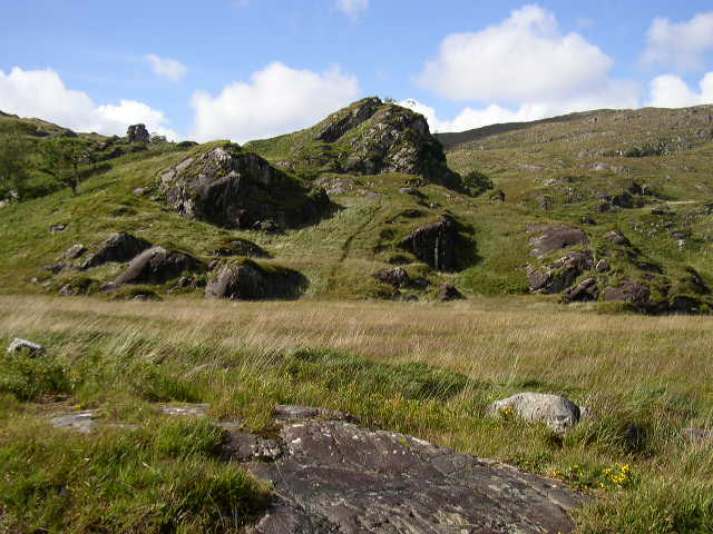
Kenmare Uplands loop walk is a strenuous 6 hour (13 hour) walking route which starts from a point just to the north of Kenmare, County Kerry in the southwest of Ireland. The route includes some of The Kerry Way long distance walking route, passing between Peakeen (555m) and Knockanaguish (509m) Mountains and returning via the Cummeenboy River Valley. This is rugged scenic countryside and is a very rewarding walk.
Gallery
Kenmare Uplands loop walk is a strenuous 6 hour (13 hour) walking route which starts from a point just to the north of Kenmare, County Kerry in the southwest of Ireland. The route includes some of The Kerry Way long distance walking route, passing between Peakeen (555m) and Knockanaguish (509m) Mountains and returning via the Cummeenboy River Valley. This is rugged scenic countryside and is a very rewarding walk.
