- Created: May 1, 2013 9:48 am
- Updated: December 12, 2017 10:59 am
- Distance Instructions
- Distance 0 m
- Time 0 s
- Speed 0.0 km/h
- Min altitude 0 m
- Peak 0 m
- Climb 0 m
- Descent 0 m
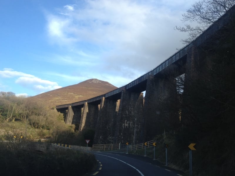
Walking on some sections of this railway line is not advised and is at your own risk. Some sections are on steep and unstable ground and there are also closed bridges and unused viaducts which may require permission to access. A section of this line also forms part of the Kerry Way National Waymarked Trail at the beginning of Mountain Stage near Glenbeigh.
To get directions, use our Map of Ireland and Sat Nav tools on our website and our GPS maps on our free ActiveME iPhone and Android App. At all times, our maps and App should be used in conjunction with proper map and compass navigation techniques and appropraite permissions from landowners. Feel free to send us your photos and add you own star rating, comments or suggestions below.
