- Created: August 28, 2012 11:32 am
- Updated: December 12, 2017 11:02 am
- Distance Instructions
- Distance 7 km
- Time 0 s
- Speed 0.0 km/h
- Min altitude 3 m
- Peak 25 m
- Climb 4 m
- Descent 26 m
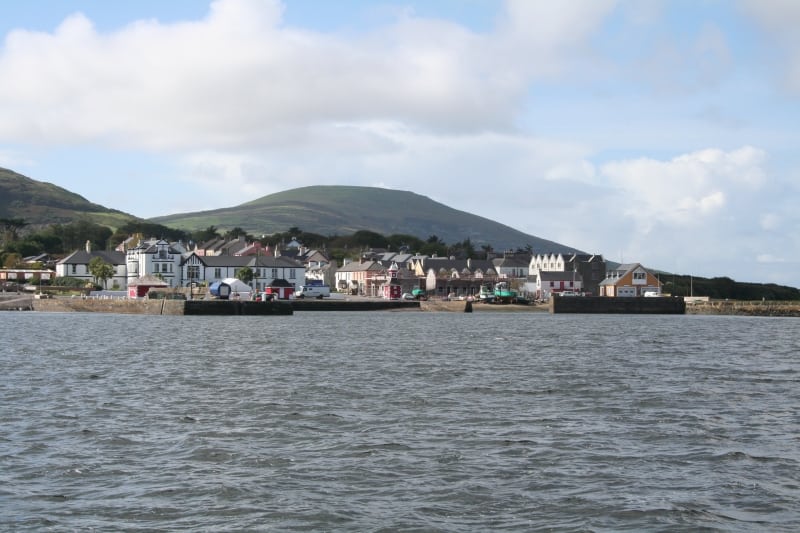
This is an easy 1.5 hour (5 km) road walk alongside the sea between Chapeltown and Knightstown, Valentia Island, County Kerry in the southwest of Ireland. If you wish the majority of this walk can be done on the pebble shore during low tide.
Use our Map of Ireland and Sat Nav tool to get directions to any of the stage start points and our detailed maps and GPS on our ActiveME App to find and follow the walking route live on screen and keep on track. At all times, our maps and App should be used in conjunction with proper map and compass navigation techniques. Feel free to send us your photos and add you own star rating, comments or suggestions below.
Gallery
This is an easy 1.5 hour (5 km) road walk alongside the sea between Chapeltown and Knightstown, Valentia Island, County Kerry in the southwest of Ireland. If you wish the majority of this walk can be done on the pebble shore during low tide.
Use our Map of Ireland and Sat Nav tool to get directions to any of the stage start points and our detailed maps and GPS on our ActiveME App to find and follow the walking route live on screen and keep on track. At all times, our maps and App should be used in conjunction with proper map and compass navigation techniques. Feel free to send us your photos and add you own star rating, comments or suggestions below.
