- Created: August 28, 2012 10:33 am
- Updated: December 12, 2017 11:01 am
- Distance Instructions
- Distance 19 km
- Time 0 s
- Speed 0.0 km/h
- Min altitude 108 m
- Peak 996 m
- Climb 1066 m
- Descent 1060 m
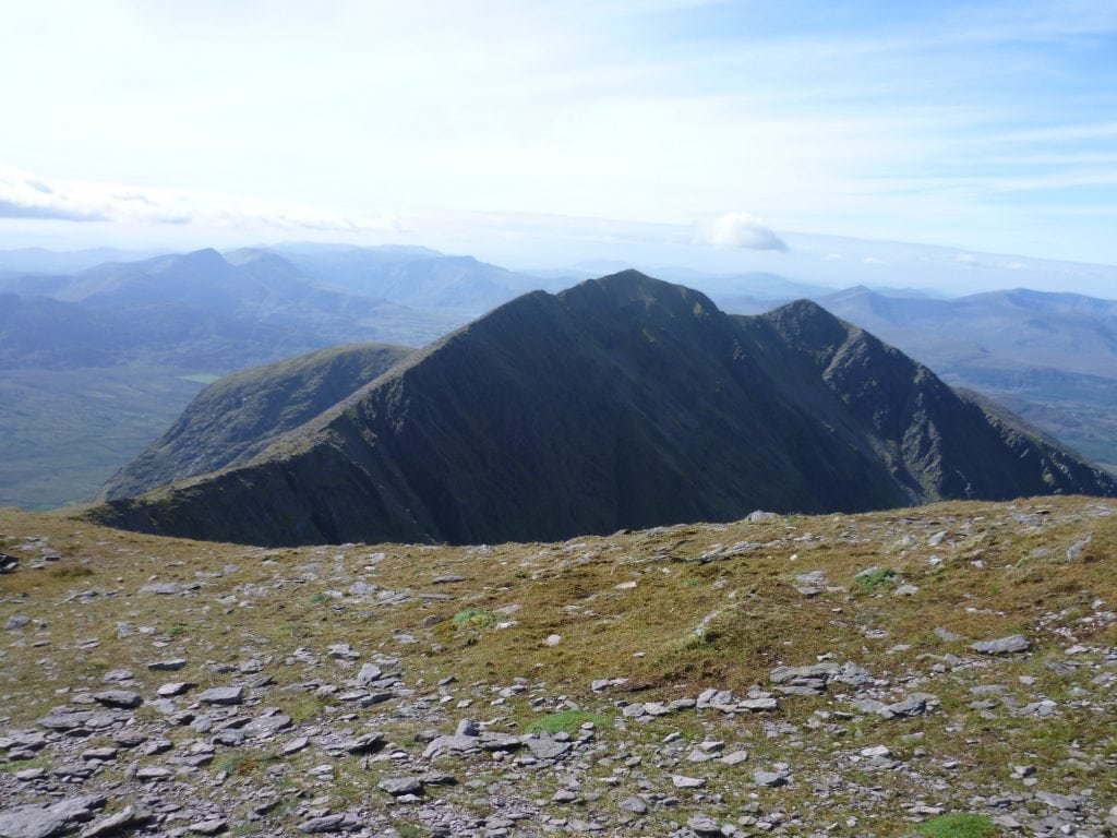
This is strenuous and beautiful 5.5 hour (13.5 km) walking route to the summits of Carrauntoohil (1,040m) and Caher (1,001m) mountains on the Macgillycuddy Reeks from Lack Road, County Kerry, Ireland. This is one of the safest and straightforward routes to the summit of Carrauntoohil, ideal for first timers.
Use our Map of Ireland and Sat Nav tool to get directions to the start point and our detailed route map and GPS on our ActiveME App to find and follow the walking route live on screen and keep on track. At all times, our maps and App should be used in conjunction proper map and compass navigation techniques. Feel free to add you own comments or suggestions below.
Gallery
This is strenuous and beautiful 5.5 hour (13.5 km) walking route to the summits of Carrauntoohil (1,040m) and Caher (1,001m) mountains on the Macgillycuddy Reeks from Lack Road, County Kerry, Ireland. This is one of the safest and straightforward routes to the summit of Carrauntoohil, ideal for first timers.
Use our Map of Ireland and Sat Nav tool to get directions to the start point and our detailed route map and GPS on our ActiveME App to find and follow the walking route live on screen and keep on track. At all times, our maps and App should be used in conjunction proper map and compass navigation techniques. Feel free to add you own comments or suggestions below.
