- Created: August 28, 2012 11:33 am
- Updated: December 12, 2017 11:01 am
- Distance Instructions
- Distance 24 km
- Time 0 s
- Speed 0.0 km/h
- Min altitude 231 m
- Peak 410 m
- Climb 366 m
- Descent 362 m
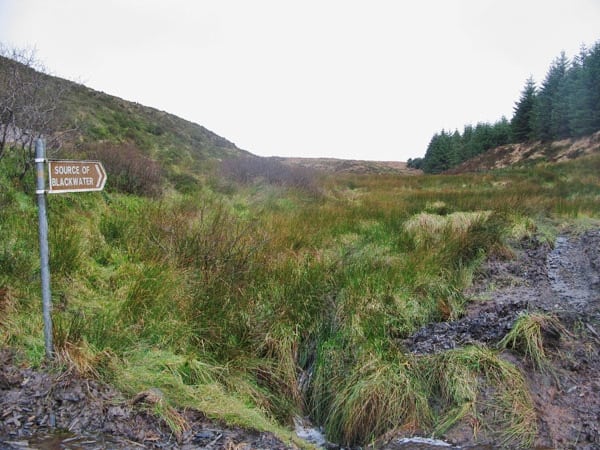
The Blackwater Loop Walk incl Gurraunbaun is a moderate to strenuous 4.5 hour (17 km) loop walk through wooded hills taking in the source of the Blackwater River and the summit of Gurraunbaun, County Kerry, Ireland.
Use our Map of Ireland and Sat Nav tool to get directions to any of the stage start points and our detailed maps and GPS on our ActiveME App to find and follow the walking route live on screen and keep on track. At all times, our maps and App should be used in conjunction with proper map and compass navigation techniques. Feel free to send us your photos and add you own star rating, comments or suggestions below.
Gallery
The Blackwater Loop Walk incl Gurraunbaun is a moderate to strenuous 4.5 hour (17 km) loop walk through wooded hills taking in the source of the Blackwater River and the summit of Gurraunbaun, County Kerry, Ireland.
Use our Map of Ireland and Sat Nav tool to get directions to any of the stage start points and our detailed maps and GPS on our ActiveME App to find and follow the walking route live on screen and keep on track. At all times, our maps and App should be used in conjunction with proper map and compass navigation techniques. Feel free to send us your photos and add you own star rating, comments or suggestions below.
