- Created: August 28, 2012 10:32 am
- Updated: December 12, 2017 11:02 am
- Distance Instructions
- Distance 9 km
- Time 0 s
- Speed 0.0 km/h
- Min altitude 89 m
- Peak 242 m
- Climb 161 m
- Descent 161 m
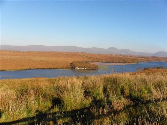
The Meenachullion Nature Reserve in County Donegal is an area of lowland blanket bog vegetation and wet grassy heath. It is located on the southern edge of the Lough Barra blanket bog complex north of Gubben Hill and is part of the headwaters of a major tributary of the Gweebarra River. It includes fenland and several small pool and lake complexes with various breeding birds use the site and a small flock of the globally vulnerable goose Anser albifrons flavirostris occurs in winter. Its a great spot for Bird Watching.
Use our Map of Ireland and Sat Nav tool to get directions and our detailed maps and GPS on our ActiveME App to find reserve live on screen and keep on track. At all times, our maps and App should be used in conjunction proper map and compass navigation techniques.
Gallery
The Meenachullion Nature Reserve in County Donegal is an area of lowland blanket bog vegetation and wet grassy heath. It is located on the southern edge of the Lough Barra blanket bog complex north of Gubben Hill and is part of the headwaters of a major tributary of the Gweebarra River. It includes fenland and several small pool and lake complexes with various breeding birds use the site and a small flock of the globally vulnerable goose Anser albifrons flavirostris occurs in winter. Its a great spot for Bird Watching.
Use our Map of Ireland and Sat Nav tool to get directions and our detailed maps and GPS on our ActiveME App to find reserve live on screen and keep on track. At all times, our maps and App should be used in conjunction proper map and compass navigation techniques.


