- Created: June 30, 2013 11:49 pm
- Updated: December 12, 2017 10:59 am
- Distance Instructions
- Distance 15 km
- Time 0 s
- Speed 0.0 km/h
- Min altitude 0 m
- Peak 681 m
- Climb 821 m
- Descent 838 m
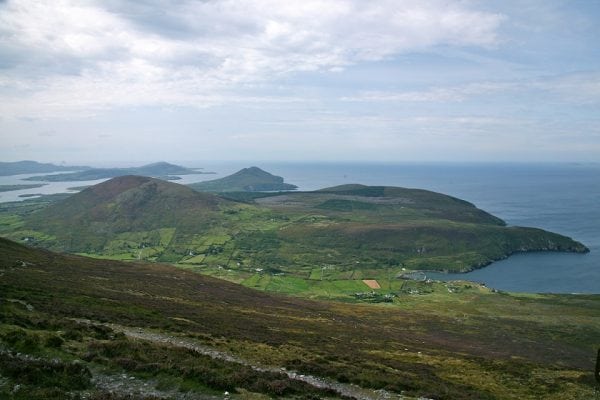
The Knocknadobar to Kells Village Ridge Walk is a moderate 4.5 hour (10.5 km) walking route to the peak of Knocknadobar Mountain (690m) near the town of Cahersiveen, Co. Kerry in the south west of Ireland. The hiking trail follows the ancient 'stations of the cross' pilgrim route with stunning views from the top alongside the Altar before travelling across the ridge and desending down to the picture perfect Kells Bay. Before Christinanity arrived in Ireland, Knocknadobar was an important mountain in Pagan Ireland.
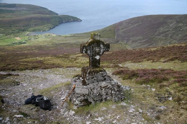
Knocknadobar, in Irish: Cnoc na dTobar, meaning "mountain of the wells" is one of the main mountains of the Iveragh Peninsula in County Kerry, Ireland. The cross beside the altar was erected in June 1884. Use our Map of Ireland and Sat Nav tool to get directions to the nature reserve and use our detailed map and App to find and follow nearby walking routes and GPS on our free App to follow these routes and keep on track.
The Knocknadobar to Kells Village Ridge Walk is a moderate 4.5 hour (10.5 km) walking route to the peak of Knocknadobar Mountain (690m) near the town of Cahersiveen, Co. Kerry in the south west of Ireland. The hiking trail follows the ancient ‘stations of the cross’ pilgrim route with stunning views from the top alongside the Altar before travelling across the ridge and desending down to the picture perfect Kells Bay. Before Christinanity arrived in Ireland, Knocknadobar was an important mountain in Pagan Ireland.
Knocknadobar, in Irish: Cnoc na dTobar, meaning “mountain of the wells” is one of the main mountains of the Iveragh Peninsula in County Kerry, Ireland. The cross beside the altar was erected in June 1884. Use our Map of Ireland and Sat Nav tool to get directions to the nature reserve and use our detailed map and App to find and follow nearby walking routes and GPS on our free App to follow these routes and keep on track.


