- Created: August 28, 2012 10:34 am
- Updated: March 12, 2018 2:31 pm
- Distance Instructions
- Distance 0 m
- Time 0 s
- Speed 0.0 km/h
- Min altitude 0 m
- Peak 0 m
- Climb 0 m
- Descent 0 m
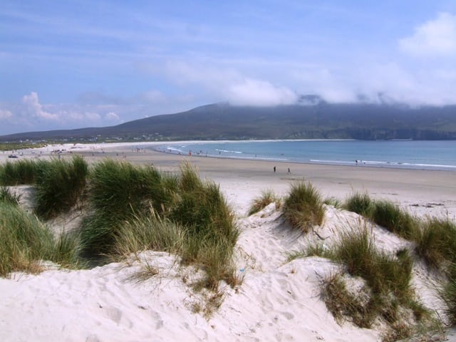

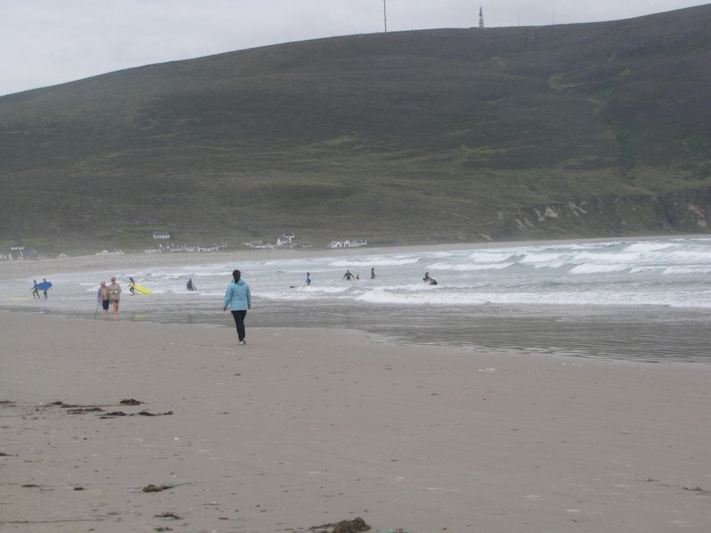
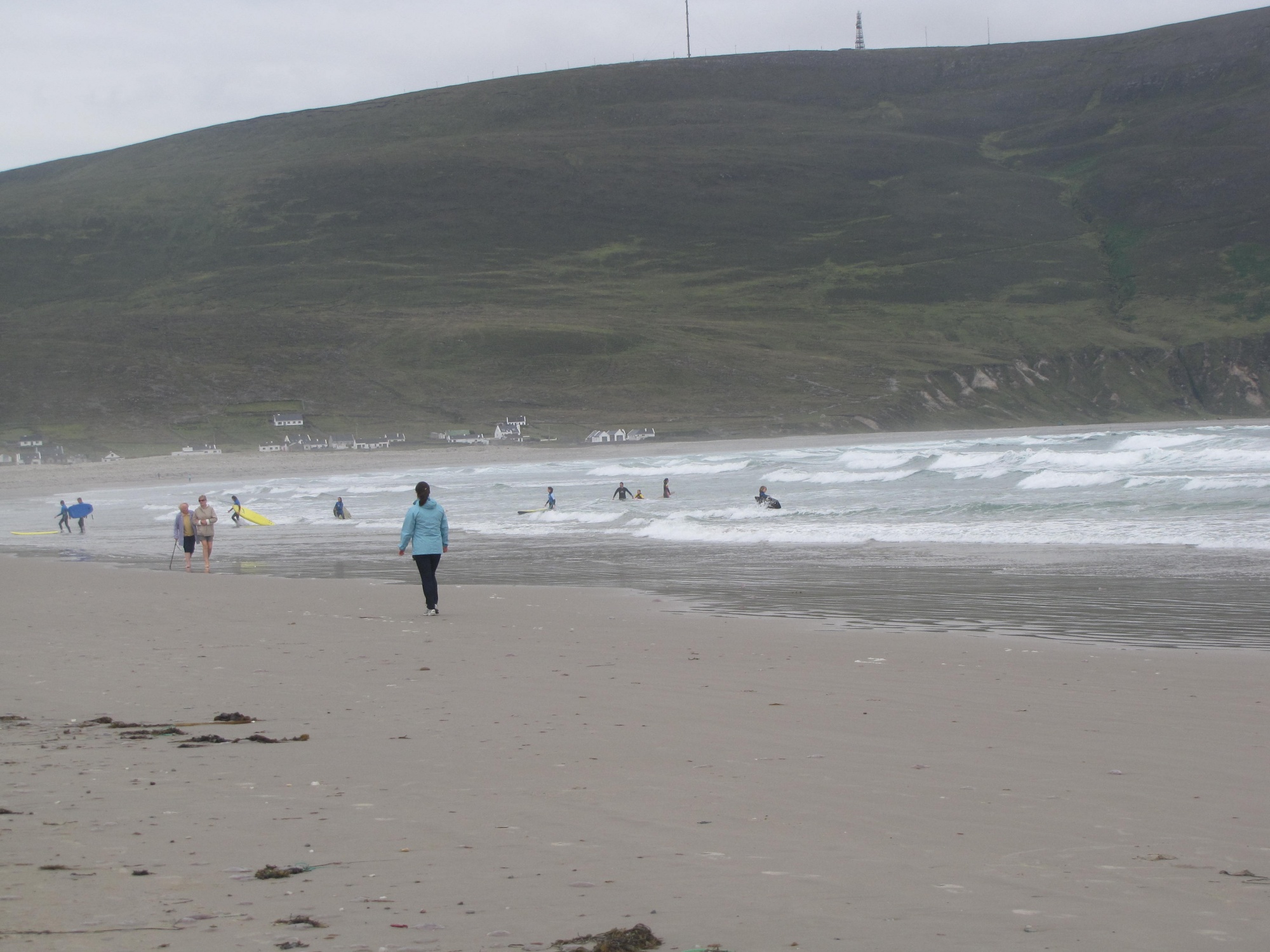
Keel Blue Flag beach, also known as Trawmore Strand, is 4 kilometre long shingle beach backed with low sand dunes. The beach is very popular for water sports, and surfing instruction is readily available.
There is a lifeguard in the summer; swimming areas are clearly marked, to avoid strong undersea currents in places. Access from the carpark is relatively flat, making wheelchair access to the beach reasonably easy.
However. there are no wheelchair-accessible toilets at the beach. There is one at the adjacent campground. The wetter areas of machair supports low growing mosses. To the southeast of the plain the ground rises sharply and the hills are covered by blanket bog and heath.
Use our Map of Ireland and Sat Nav tool to get directions and our detailed route map and GPS on our ActiveME App to find the beach live on screen and keep on track. At all times, our maps and App should be used in conjunction proper map and compass navigation techniques. Feel free to send us your photos and add you own star rating, comments or suggestions below.
Gallery
Keel Blue Flag beach, also known as Trawmore Strand, is 4 kilometre long shingle beach backed with low sand dunes. The beach is very popular for water sports, and surfing instruction is readily available.
There is a lifeguard in the summer; swimming areas are clearly marked, to avoid strong undersea currents in places. Access from the carpark is relatively flat, making wheelchair access to the beach reasonably easy.
However. there are no wheelchair-accessible toilets at the beach. There is one at the adjacent campground. The wetter areas of machair supports low growing mosses. To the southeast of the plain the ground rises sharply and the hills are covered by blanket bog and heath.
Use our Map of Ireland and Sat Nav tool to get directions and our detailed route map and GPS on our ActiveME App to find the beach live on screen and keep on track. At all times, our maps and App should be used in conjunction proper map and compass navigation techniques. Feel free to send us your photos and add you own star rating, comments or suggestions below.
