- Created: August 28, 2012 10:34 am
- Updated: March 12, 2018 2:31 pm
- Distance Instructions
- Distance 0 m
- Time 0 s
- Speed 0.0 km/h
- Min altitude 0 m
- Peak 0 m
- Climb 0 m
- Descent 0 m
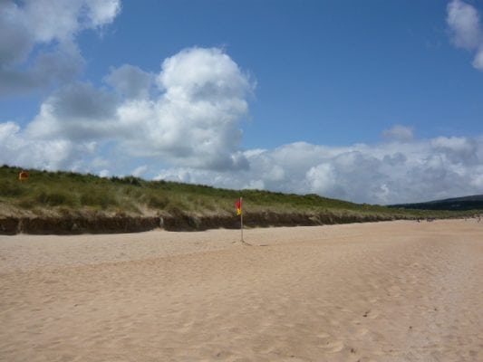
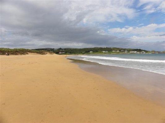
The stunning Culdaff Beach located on the Inishowen peninsula county Donegal in the north west if Ireland. This long sandy beach is popular for swimming, walking and other watersports and is only 50 yards away from the village. There are two beaches called 'the small beach' and 'the big beach' and these can be very busy during the summer.
This coastal area is protected and designated a Special area for Conservation (SAC) divided into distinct zones by the rocky headlands of Black Rock, Bucker's Rock and Lady's Rock. Beach use is concentrated on the eastern part of the main beach between Carratra and central access points and in the rock coves between Ladys Port and Black Pool. This beach is lifeguarded during the bathing season (lifeguard times can be found displayed on the beach information board). Culdaff beach is located off the R243 east of the town of Malin. Culdaff village dates back to the 8th century and was originally the site of the monastery of St Buadán which the Church of Ireland is named.
Use our Map of Ireland and Sat Nav tool to get directions and our detailed maps and GPS on our ActiveME App to find the beach live on screen and keep on track. At all times, our maps and App should be used in conjunction proper map and compass navigation techniques.
Gallery
The stunning Culdaff Beach located on the Inishowen peninsula county Donegal in the north west if Ireland. This long sandy beach is popular for swimming, walking and other watersports and is only 50 yards away from the village. There are two beaches called ‘the small beach’ and ‘the big beach’ and these can be very busy during the summer.
This coastal area is protected and designated a Special area for Conservation (SAC) divided into distinct zones by the rocky headlands of Black Rock, Bucker’s Rock and Lady’s Rock. Beach use is concentrated on the eastern part of the main beach between Carratra and central access points and in the rock coves between Ladys Port and Black Pool. This beach is lifeguarded during the bathing season (lifeguard times can be found displayed on the beach information board). Culdaff beach is located off the R243 east of the town of Malin. Culdaff village dates back to the 8th century and was originally the site of the monastery of St Buadán which the Church of Ireland is named.
Use our Map of Ireland and Sat Nav tool to get directions and our detailed maps and GPS on our ActiveME App to find the beach live on screen and keep on track. At all times, our maps and App should be used in conjunction proper map and compass navigation techniques.


