- Created: February 21, 2013 10:46 pm
- Updated: December 12, 2017 10:59 am
- Distance Instructions
- Distance 20 km
- Time 0 s
- Speed 0.0 km/h
- Min altitude 44 m
- Peak 65 m
- Climb 107 m
- Descent 109 m
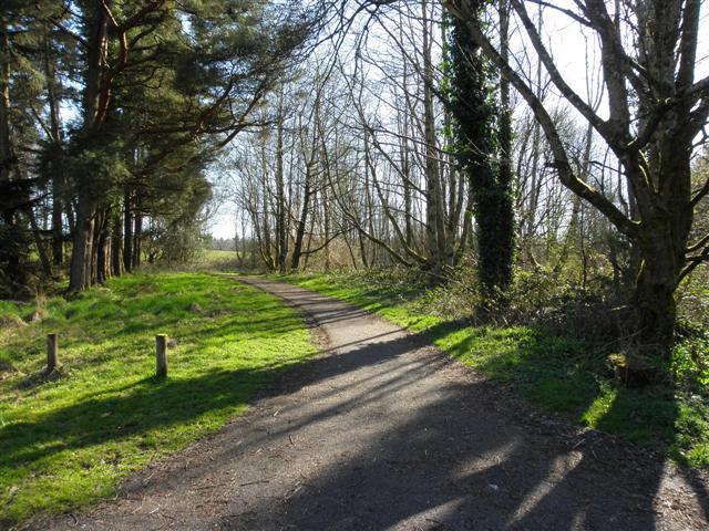
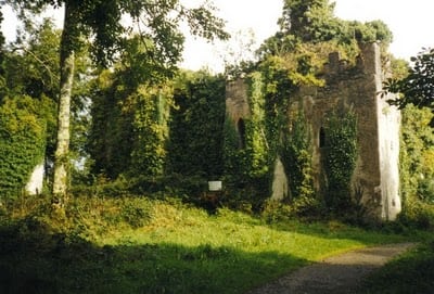
The Forest Loop Walk in Castle Caldwell Forest is a moderate 3.5 hour (13.5 km) walking route through the forest park passing the Old Castle built in 1612, the red deer park enclosure, wildfowl ponds, wildflower meadow and butterfly garden. Castle Caldwell Forest park lies four miles from Belleek at the western end of Lower Lough Erne. This park and Lough Erne played an important role during WW2 as the most westerly flying-boat station which protected against the U-Boat threat in the North Atlantic. There are plenty other walks and also a family cycle trail waymarked around the park and are shown at the bottom of this page. All routes are clearly waymarked with red, blue and yellow arrows. This forest is also a birdwatching paradises with the Common Scooter a regular visitor.
Use our Map of Ireland and Sat Nav tool to get directions to any of the stage start points and our detailed maps and GPS on our ActiveME iPhone and Android App to find and follow the walking route live on screen and keep on track. At all times, our maps and App should be used in conjunction with proper map and compass navigation techniques. Feel free to send us your photos and add you own star rating, comments or suggestions below.
