- Created: February 4, 2014 10:00 am
- Updated: December 12, 2017 10:58 am
- Distance Instructions
- Distance 250 km
- Time 0 s
- Speed 0.0 km/h
- Min altitude 1 m
- Peak 366 m
- Climb 3717 m
- Descent 3751 m
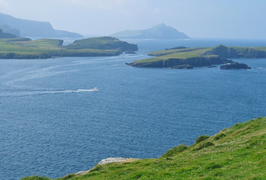
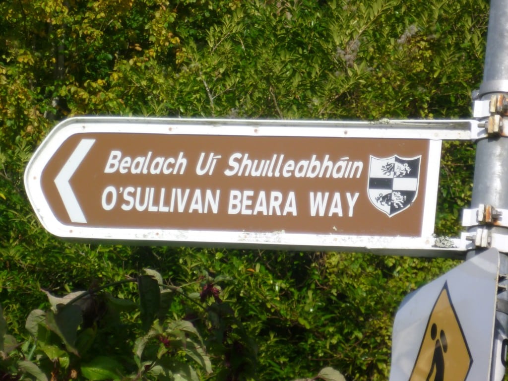
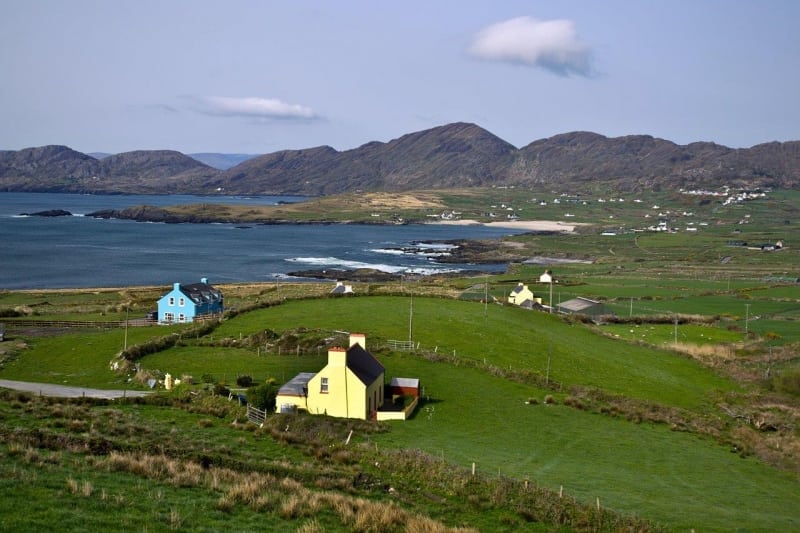

It is one of the most popular signposted hiking trails in Ireland and one of the worlds most spectacular and diverse walks taking 7 to 10 days to complete. You can do one stage or the entire route but typically the entire route is broken down into 10 key stages of approximate equal length or duration. We have also broken some of these longer stages into smaller parts to allow everyone irrespective of fitness or time available to experience one of the best and varied walks in Ireland.
- Stage 1 - Glengarriff to Adrigole (16km, 4-5 hours)
- Stage 2 - Adrigole to Castletownbere (24km, 6-8 hours)
- Stage 3 - Castletownbere to Allihies (15km, 4-5 hours)
- Stage 4 - Allihies to Eyeries (12km, 3-4 hours)
- Stage 5 - Eyeries to Ardgroom (14km, 4-5 hours)
- Stage 6 - Ardgroom to Lauragh (13km, 3-4 hours)
- Stage 7 - Lauragh to Kenmare (25km, 6-8 hours)
- Stage 8 - Kenmare to Bonane (15km, 4-5 hours)
- Stage 9 - Bonane to Glengarriff (11km, 4-5 hours)
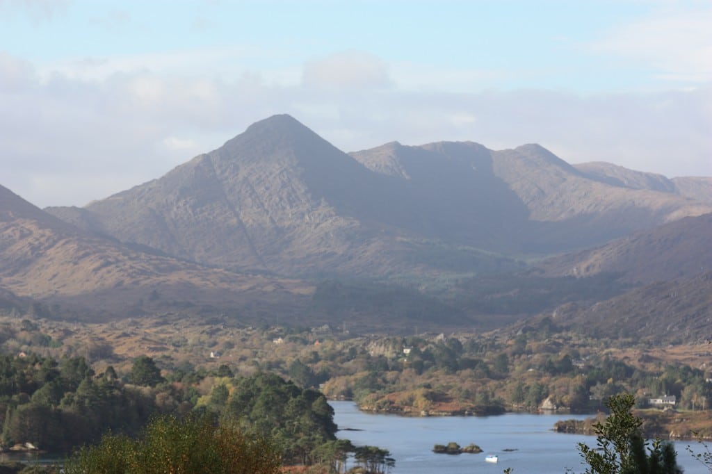
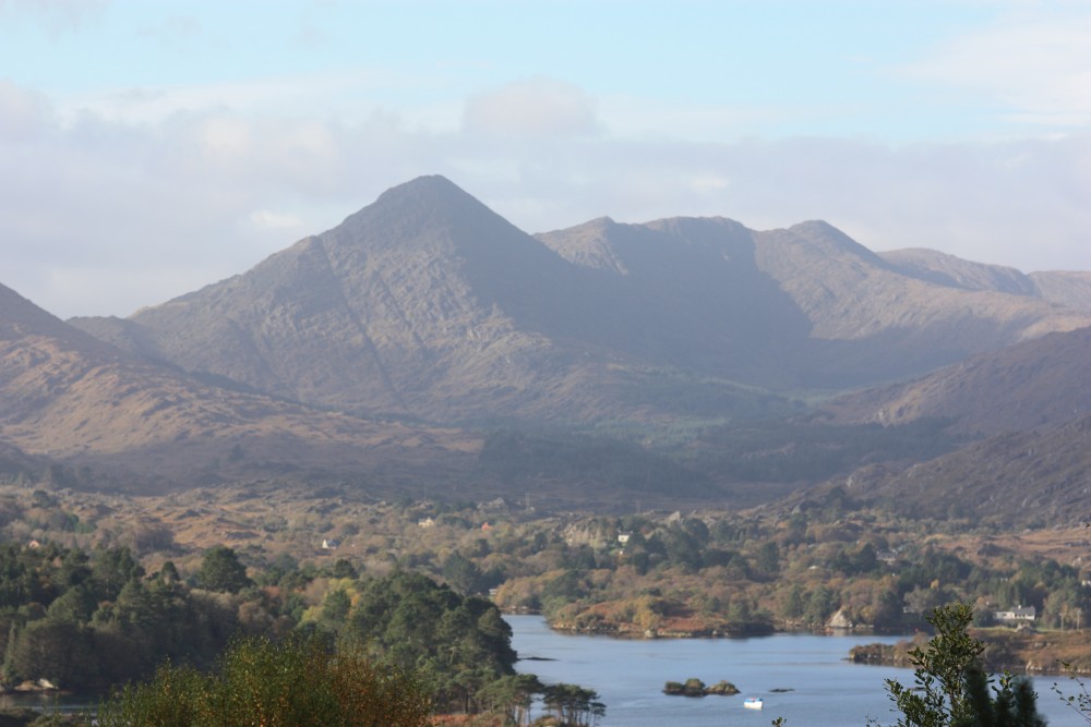
There are also some great Loop Walks and Mountain Walks along the Beara Way route which allow you to explore the local area. Importantly there is superb overnight accommodation and places to eat in the picturesque towns and villages all along the route, making your journey that much better. There are also luggage transfer and packed lunch services available from many of the accommodation providers.
Accommodation along the Route (coming soon)
- Glengarriff -
- Adrigole -
- Castletownbere -
- Allihies -
- Eyeries -
- Ardgroom -
- Lauragh -
- Kenmare -
- Kenmare -
- Bonane -
Places to Eat along the route (coming soon)
- Glengarriff -
- Adrigole -
- Castletownbere -
- Allihies -
- Eyeries -
- Ardgroom -
- Lauragh -
- Kenmare -
- Kenmare -
- Bonane -
Use our Map of Ireland and Sat Nav tool to get directions to any of the stage start points and our detailed maps and GPS on our ActiveME App (https://www.activeme.ie/mobile-apps/) to find and follow the walking route live on screen and keep on track. At all times, our maps and Apps should be used in conjunction proper map and compass navigation techniques. Feel free to send us your photos and add you own star rating, comments or suggestions below.
It is one of the most popular signposted hiking trails in Ireland and one of the worlds most spectacular and diverse walks taking 7 to 10 days to complete. You can do one stage or the entire route but typically the entire route is broken down into 10 key stages of approximate equal length or duration. We have also broken some of these longer stages into smaller parts to allow everyone irrespective of fitness or time available to experience one of the best and varied walks in Ireland.
- Stage 1 – Glengarriff to Adrigole (16km, 4-5 hours)
- Stage 2 – Adrigole to Castletownbere (24km, 6-8 hours)
- Stage 3 – Castletownbere to Allihies (15km, 4-5 hours)
- Stage 4 – Allihies to Eyeries (12km, 3-4 hours)
- Stage 5 – Eyeries to Ardgroom (14km, 4-5 hours)
- Stage 6 – Ardgroom to Lauragh (13km, 3-4 hours)
- Stage 7 – Lauragh to Kenmare (25km, 6-8 hours)
- Stage 8 – Kenmare to Bonane (15km, 4-5 hours)
- Stage 9 – Bonane to Glengarriff (11km, 4-5 hours)
There are also some great Loop Walks and Mountain Walks along the Beara Way route which allow you to explore the local area. Importantly there is superb overnight accommodation and places to eat in the picturesque towns and villages all along the route, making your journey that much better. There are also luggage transfer and packed lunch services available from many of the accommodation providers.
Accommodation along the Route (coming soon)
- Glengarriff –
- Adrigole –
- Castletownbere –
- Allihies –
- Eyeries –
- Ardgroom –
- Lauragh –
- Kenmare –
- Kenmare –
- Bonane –
Places to Eat along the route (coming soon)
- Glengarriff –
- Adrigole –
- Castletownbere –
- Allihies –
- Eyeries –
- Ardgroom –
- Lauragh –
- Kenmare –
- Kenmare –
- Bonane –
Use our Map of Ireland and Sat Nav tool to get directions to any of the stage start points and our detailed maps and GPS on our ActiveME App (https://www.activeme.ie/mobile-apps/) to find and follow the walking route live on screen and keep on track. At all times, our maps and Apps should be used in conjunction proper map and compass navigation techniques. Feel free to send us your photos and add you own star rating, comments or suggestions below.
