- Created: August 28, 2012 11:32 am
- Updated: December 12, 2017 11:02 am
- Distance Instructions
- Distance 15 km
- Time 0 s
- Speed 0.0 km/h
- Min altitude 84 m
- Peak 799 m
- Climb 780 m
- Descent 779 m
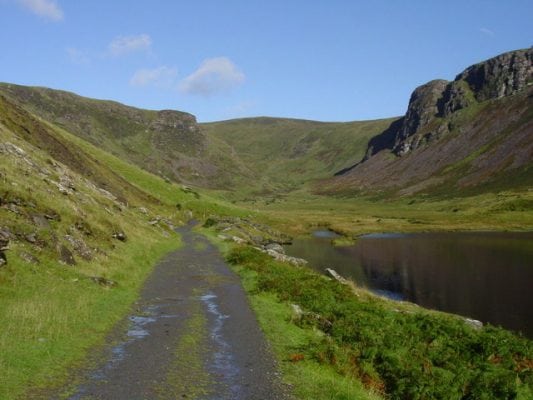
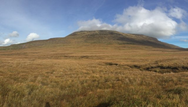
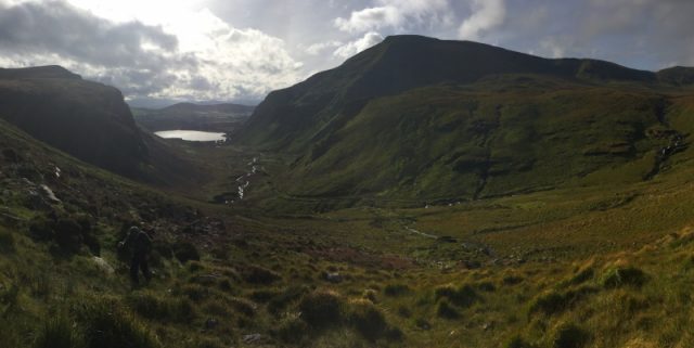
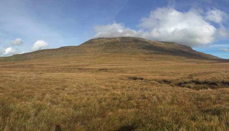
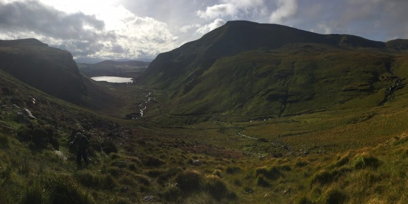
The Annascaul Lake to Beenoskee Mountain is a moderate 5.5 hour (11.5 km) walking route near the village of Annascaul in county Kerry in the beautiful south west of Ireland on the Wild Atlantic Way. This walk is on mostly roads and obvious paths and passes the beautiful Lough Annascaul at 80m and climbs to the summit of Beenoskee Mountain at 826m with some boggy areas to negotiate on the col above the lake.
This walk is only a short drive from Annascaul village and there are also many other walks in the area. The annual Annascaul Walking Festival and local walking club are also great ways to explore the area.
Plan your walk by checking the weather, sunrise sunset times and our hiking checklist on our website https://www.activeme.ie/useful-info/planning-a-trip/. Please remember that you are only as fast as the slowest member of your group! If the weather is poor don't be afraid to cancel your walk and do some other walk, maybe a low level walk.
Use our Map of Ireland and Sat Nav tool to get directions to the start point and our detailed maps and GPS on our free ActiveME iPhone App and Android App to find and follow the walking route live on screen and keep on track. At all times, our maps and App should only be used in conjunction with proper map and compass navigation techniques.
Gallery
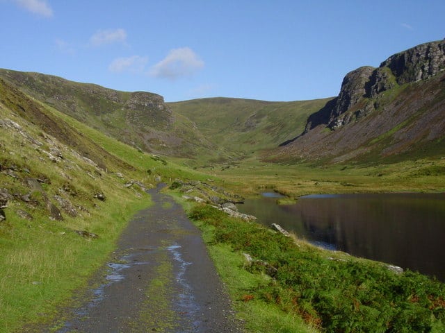
The Annascaul Lake to Beenoskee Mountain is a moderate 5.5 hour (11.5 km) walking route near the village of Annascaul in county Kerry in the beautiful south west of Ireland on the Wild Atlantic Way. This walk is on mostly roads and obvious paths and passes the beautiful Lough Annascaul at 80m and climbs to the summit of Beenoskee Mountain at 826m with some boggy areas to negotiate on the col above the lake.
This walk is only a short drive from Annascaul village and there are also many other walks in the area. The annual Annascaul Walking Festival and local walking club are also great ways to explore the area.
Plan your walk by checking the weather, sunrise sunset times and our hiking checklist on our website https://www.activeme.ie/useful-info/planning-a-trip/. Please remember that you are only as fast as the slowest member of your group! If the weather is poor don’t be afraid to cancel your walk and do some other walk, maybe a low level walk.
Use our Map of Ireland and Sat Nav tool to get directions to the start point and our detailed maps and GPS on our free ActiveME iPhone App and Android App to find and follow the walking route live on screen and keep on track. At all times, our maps and App should only be used in conjunction with proper map and compass navigation techniques.

