- Created: June 6, 2014 9:42 am
- Updated: December 12, 2017 10:58 am
- Distance Instructions
- Distance 9 km
- Time 0 s
- Speed 0.0 km/h
- Min altitude 55 m
- Peak 418 m
- Climb 411 m
- Descent 411 m
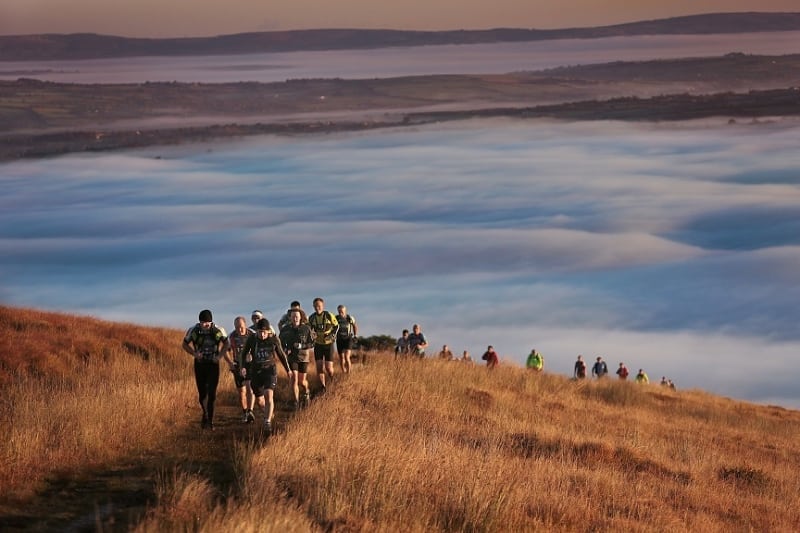
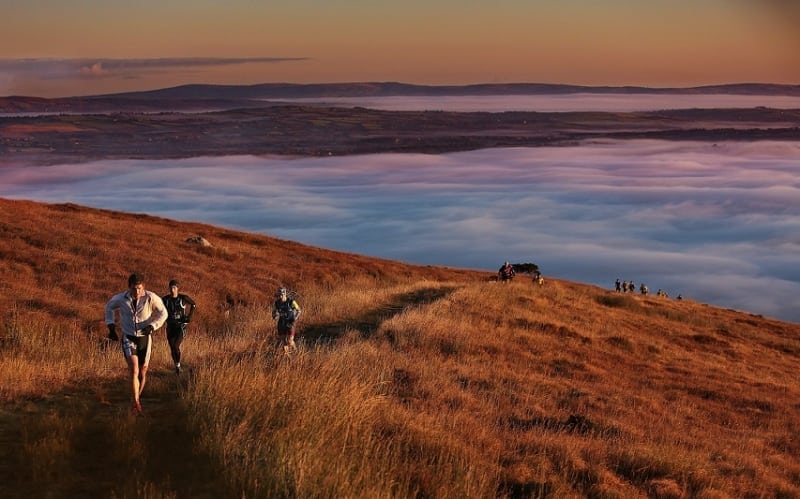
Strickeen Hill or Mountain is an easy to moderate, family friendly 3 hour (7.5km) walking route to the eastern most peak of the MacGillycuddy's Reeks Mountains in Co. Kerry in the south west of Ireland. This guided walk is part of the 2014 Killarney Walking Festival from 20 to 22 June. Register for the walk here www.killarneywalkingfestival.ie. View the route map below and also on our Free Apps on iPhone and Android here.
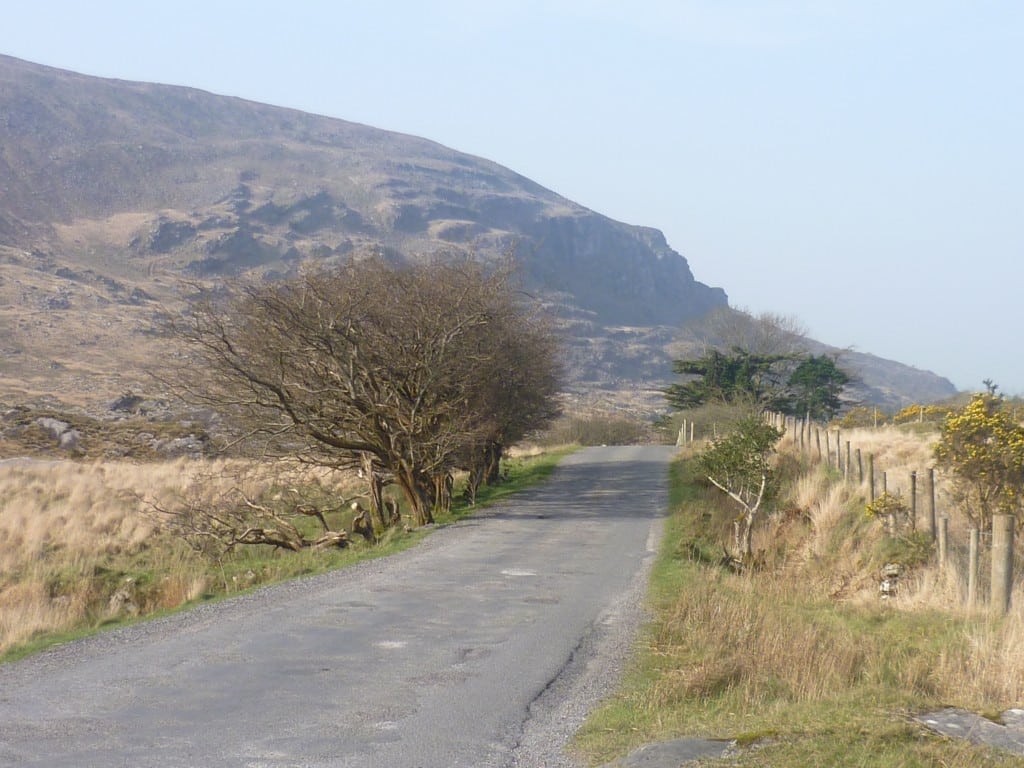
This is a particularly interesting walk for someone with a desire to get at least a flavour of Kerry’s finest. It begins with an easy stroll on the road from Kate Kearneys before starting the mountain with an easy zig zag track up Strickeen Hill opening up to the Gap of Dunloe making the slight climb well worthwhile. Even though the summit is 440m you can get some of the best views in Kerry including southwest down across the Hag’s Glen to the two highest peaks in Ireland, Carrauntoohil and Beenkeeragh, west to Dingle Bay, Cromane, the Sliabh Mish mountains and the Dingle Peninsula and east to the Lakes of Killarney and south to the Gap of Dunloe and Tomies and Purple mountains. If time and energy allows you can continue on the route along some of the Eastern Reeks Ridge.

To see the route, use our Map of Ireland and Sat Nav tools on our website and our GPS maps on our free ActiveME iPhone and Android App to find and follow the route. At all times, our maps and Apps should be used in conjunction proper map and compass navigation techniques.
Strickeen Hill or Mountain is an easy to moderate, family friendly 3 hour (7.5km) walking route to the eastern most peak of the MacGillycuddy’s Reeks Mountains in Co. Kerry in the south west of Ireland. This guided walk is part of the 2014 Killarney Walking Festival from 20 to 22 June. Register for the walk here www.killarneywalkingfestival.ie. View the route map below and also on our Free Apps on iPhone and Android here.
This is a particularly interesting walk for someone with a desire to get at least a flavour of Kerry’s finest. It begins with an easy stroll on the road from Kate Kearneys before starting the mountain with an easy zig zag track up Strickeen Hill opening up to the Gap of Dunloe making the slight climb well worthwhile. Even though the summit is 440m you can get some of the best views in Kerry including southwest down across the Hag’s Glen to the two highest peaks in Ireland, Carrauntoohil and Beenkeeragh, west to Dingle Bay, Cromane, the Sliabh Mish mountains and the Dingle Peninsula and east to the Lakes of Killarney and south to the Gap of Dunloe and Tomies and Purple mountains. If time and energy allows you can continue on the route along some of the Eastern Reeks Ridge.
To see the route, use our Map of Ireland and Sat Nav tools on our website and our GPS maps on our free ActiveME iPhone and Android App to find and follow the route. At all times, our maps and Apps should be used in conjunction proper map and compass navigation techniques.
