- Created: October 18, 2013 11:14 am
- Updated: December 12, 2017 10:59 am
- Distance Instructions
- Distance 19 km
- Time 0 s
- Speed 0.0 km/h
- Min altitude 16 m
- Peak 150 m
- Climb 308 m
- Descent 308 m
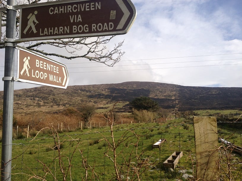
This route begins in the centre of Cahersiveen town and follows both the purple National Loop arrows and blue arrows from the Fair Green car park travelling up towards Carhan Lower from where you have a panoramic view of the town and Valentia Harbour. This part of the route is also on the Kerry Way (a long-distance route) which is signposted with yellow arrows and the little walking man sign.
There are plenty of other routes to suit beginners to advanced walkers in the area, so please find a route that is right for you or your group. There is also a much shorter loop walk on the western slopes of the mountain which starts and finishes at Garranebawn and can be seen below.
Plan your walk by checking the weather, sunrise sunset times and our hiking check list on our website https://www.activeme.ie/useful-info/planning-a-trip/. Please remember that you are only as fast as the slowest member of your group!
Use our Map of Ireland and Sat Nav tool to get directions to the start point and our detailed maps and GPS on our ActiveME iPhone App and Android App to find and follow the walking route live on screen and keep on track. At all times, our maps and App should be used in conjunction with proper map and compass navigation techniques. You are also advised to taking into account the weather and have permission to access the lands. Feel free to send us your photos, comments or suggestions below.
